However its the only one I have been able to find!
Its shows all the controlled airspace volumes in the UK at that date,
handy for seeing how close you are launching or coming into controlled space!!

|
[ next ] | |
|
However its the only one I have been able to find! Its shows all the controlled airspace volumes in the UK at that date, handy for seeing how close you are launching or coming into controlled space!! |

Airspace.kmz |

Center X.kml |

centerX.png |

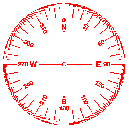
Compass Tool.kml |

Compass_Tool.png |

pano.kml |

raster.kml |

view_info.kml |

view_information.kmz |